Naukratis in its riverine environment
From the late 7th century BC, the city of Naukratis in the western Delta was one of the most important ports in Egypt. Situated on the banks of the Canopic branch of the Nile, it was the place where trade between Late Period Egypt and the Greek Mediterranean was focused, and it comprised the economic gateway to the royal Pharaonic city of Sais. The city was home to a cosmopolitan population of Greeks, Egyptians, Cypriots and Phoenicians. An enormous temenos to Amun-Ra in the south of the city existed in tandem with Greek temples to Apollo, the Dioscuri (Castor and Pollux, favoured patrons of sailors), Hera, Aphrodite and others in the north. The settlement continued to flourish for over a thousand years, through Ptolemaic Egypt and the Roman period, and into Byzantine times before declining at some point in the later first millennium CE.
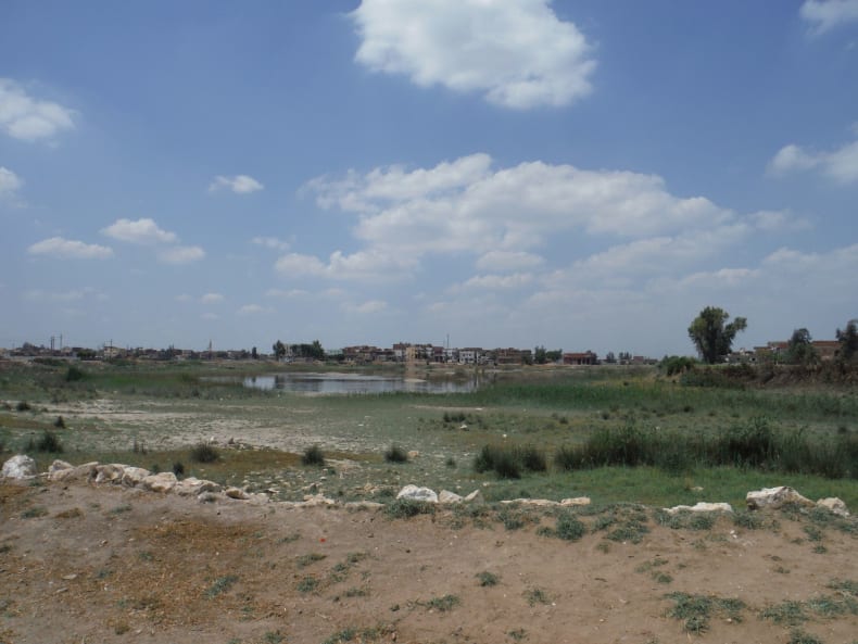
View over the site of Naukratis today. Much of the former settlement is now a huge man-made lake as a result of the excavations of Petrie, Hogarth and Gardner, as well as from the actions of the sebbakhin.
The British Museum Naukratis Project has been working for over a decade on artefacts that were collected during early excavations at the site, first by Petrie and then by Hogarth & Gardner. Alongside this, a new programme of fieldwork, comprising topographic and magnetometer surveys as well as excavations, has greatly expanded our knowledge of the city.
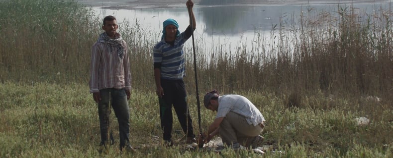
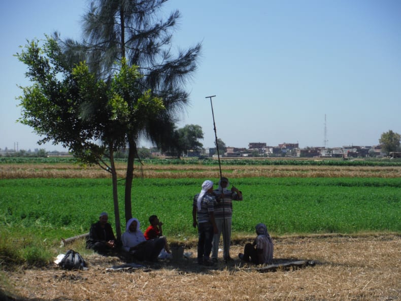
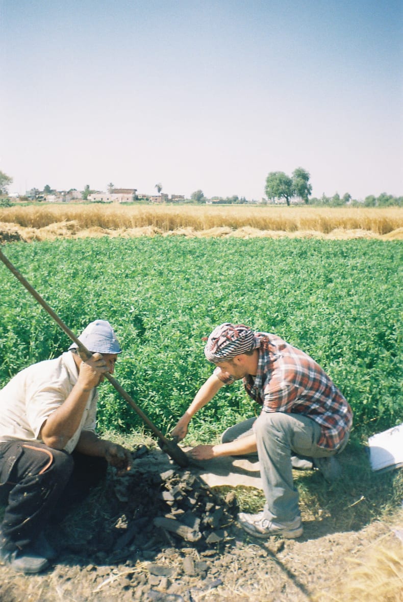
Hand augering at and around the site of Naukratis in order to understand the ancient landscape.
Unfortunately, however, the exact position of the Canopic branch of the Nile – the economic lifeline of the city – has so far remained a mystery. Petrie suggested the river lay on the western side of the site; Hogarth instead thought it was on the east. Investigations by an American team in the 1970s and 1980s ended up placing the river in a seemingly nonsensical position, running right through the centre of the site and the Egyptian temenos.
Now, with the help of a grant from the EES Delta Survey, a programme of focused geoarchaeological work (hand-augering) has been able to shed light on the location of this river relative to the settlement as well as its navigability for sea-going vessels originating from the Mediterranean and the Greek world.
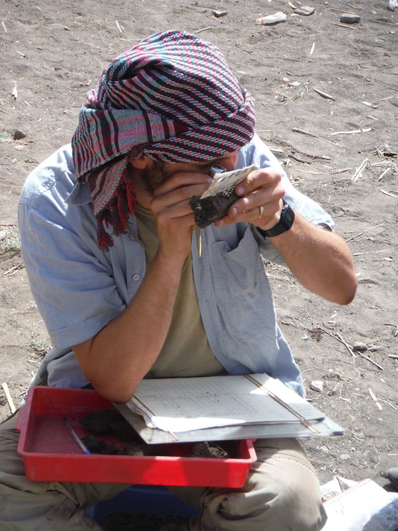
Analysing sediments recovered from the subsurface in the field.
As a result of this work we can now say that the river was without doubt located to the west of the site, abutting the settlement during the Late Period. Later, the river migrated westwards, away from the site, leaving a swampy area between the main river channel and the city. In Roman times, Naukratis expanded in this direction, over the swampy area that the river had occupied just a few hundred years earlier, and the inhabitants built a new waterfront at the edge of the river, almost a hundred metres west of the Late Period riverbank. Importantly, this new research has also shown that the river was deeper and more navigable than some Egyptologists had previously postulated.
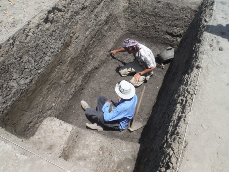
The work at Naukratis is highly interdisciplinary; discussions taking place on the nature of “natural” layers at the base of an archaeological trench.
Ongoing work at the site is in progress in order to try to understand the overall landscape setting of the city within the western Delta in more detail, as well as to understand if a network of canals may have linked this port settlement to the 26th dynasty capital at Sais.
Further reading
Pennington, B.T. (2016) “Naukratis in its riverine setting”. Egyptian Archaeology 48, pp 35-37.
Pennington, B.T.; Thomas, R.I. (2016) "Paleoenvironmental surveys at Naukratis and the Canopic branch of the Nile"?. Journal of Archaeological Science: Reports 7, pp 180-188.
Thomas, R.I.; Villing, A. (2013) “Naukratis revisited 2012: Integrating new fieldwork and old research” British Museum Studies in Ancient Egypt and Sudan 20, pp 81-125.

